get me back to photo albums page
More than a year after the county floods, I've left the page I made, just as it was.
As if Nature re-emphasizes that we'll never know what will hit, when or where.. heavy rains caused a lot of damage right here near home..
Being in the higher elevations spares me any direct damage at home from this bit of Nature's fury... but about a dozen of our neighbor's homes in Alstead were washed away by the dam failure there.
Front and then side view of a driveway in Charlestown that just is no more..


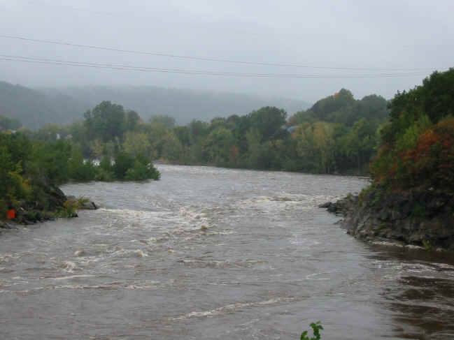
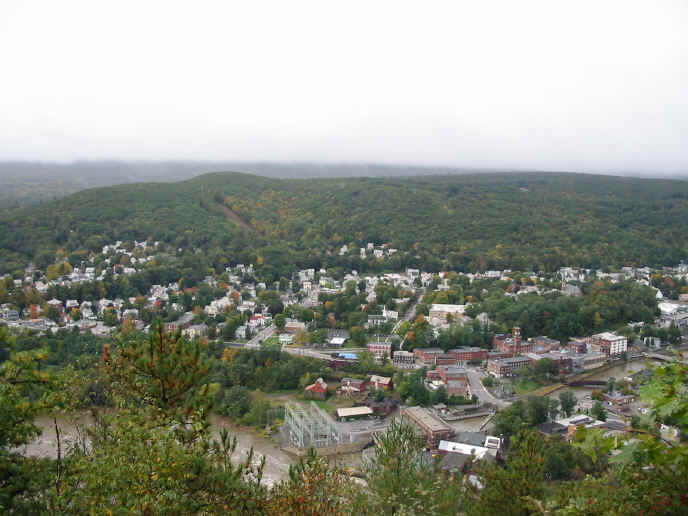
These few shots are from the top of Fall Mountain on Sunday morning. That's the Connecticut River with Bellows Falls VT on the far side and North Walpole NH on the near side.
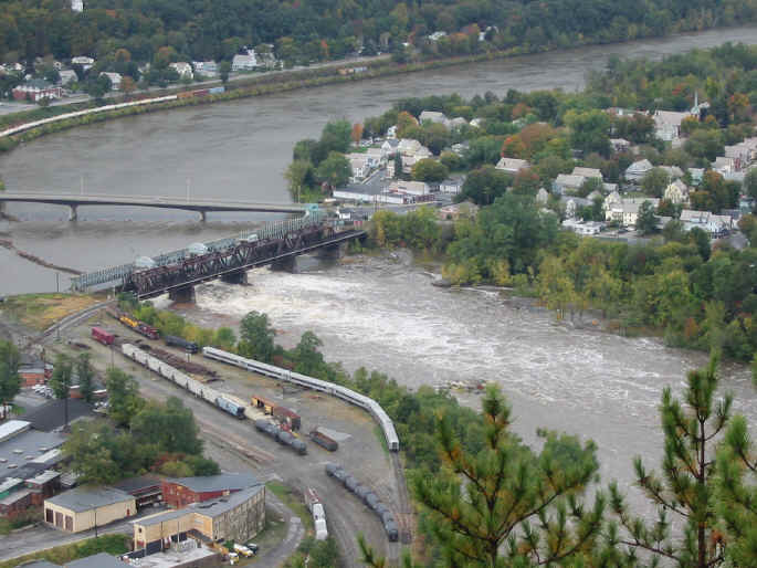
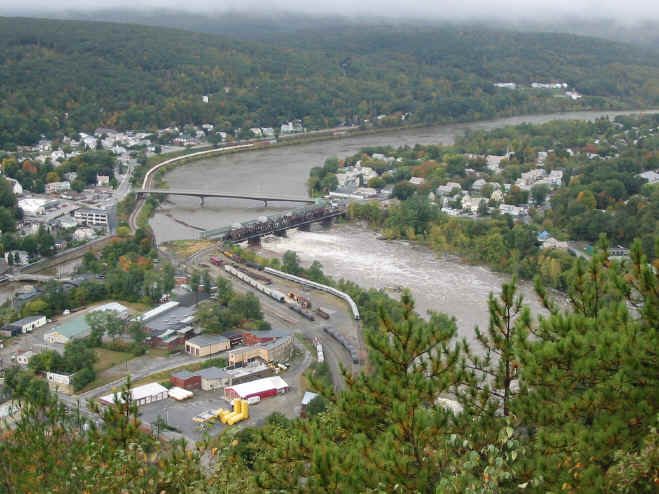

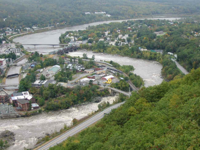
That narrow canal to the left is the inlet to the dam, to the right is all the rest of the Connecticut River.
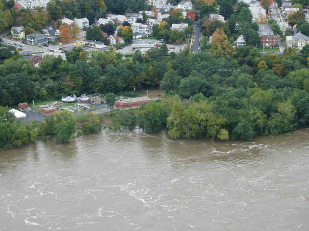
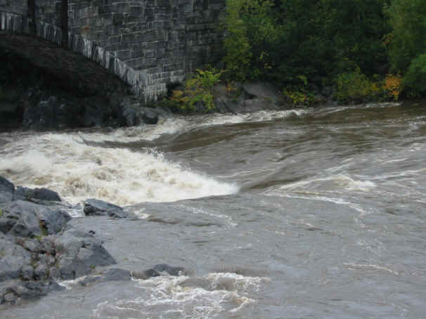
These were taken from Vilas Bridge, very close to the bright yellow fuel tanks seen in pics above.
The road from North Walpole to Alstead is going to be closed for a while.. gotta go behind Ames' if you gotta get there..
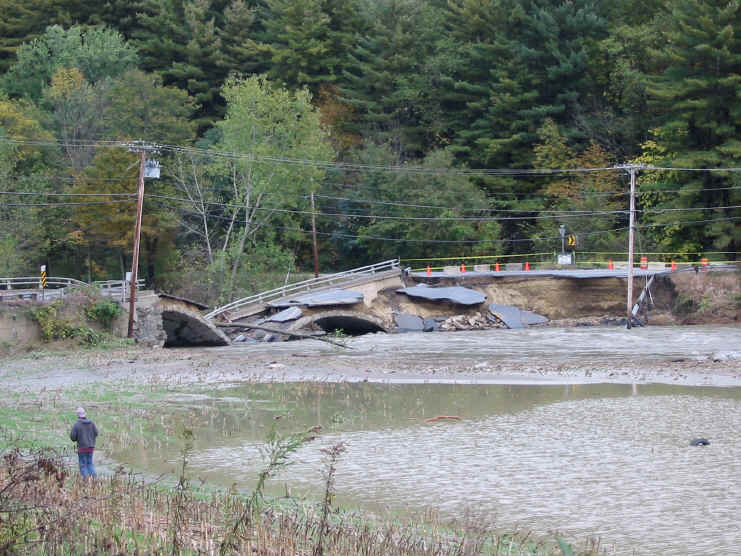
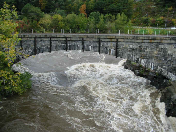
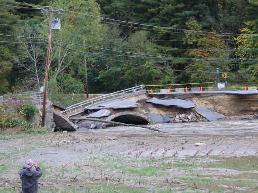
This makes me feel really queasy when I think of the number of times I've driven over this bridge..
Dozens of roads in each of dozens of towns have been heavily washed out if not completely erased at points..
While I was taking these, I heard a chopper approaching.
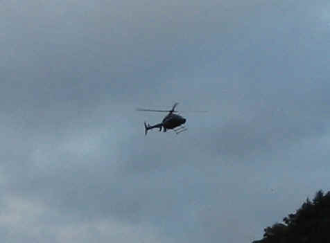
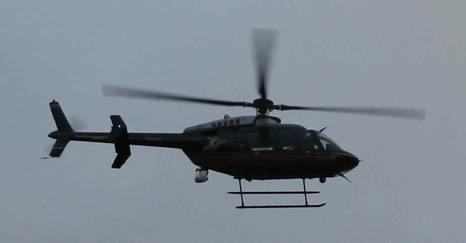
Yep.. a State Police helicopter..
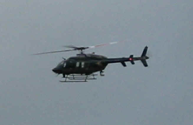
I'm very afraid they were probably conducting a 'recovery' search.
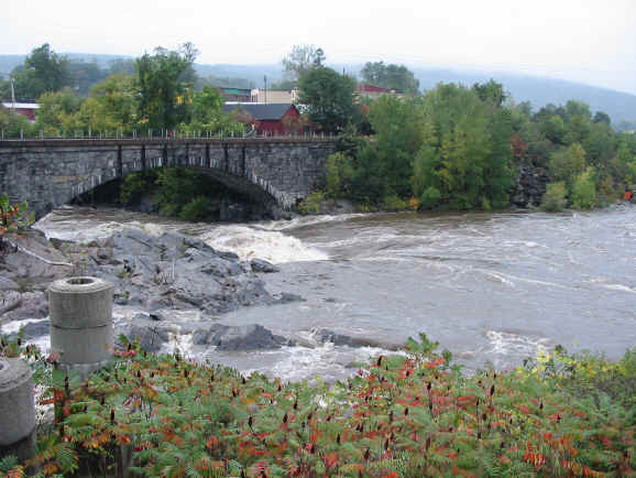
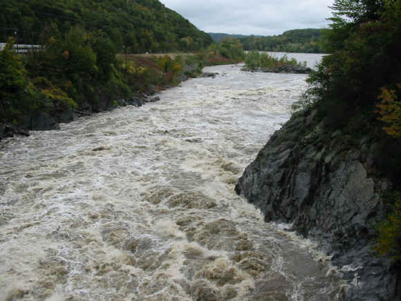
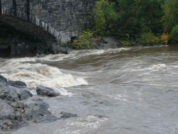
Back to Vilas bridge for some shots from upstream..

In spite of the forecast, we were spared, thankfully, from any more rain today.