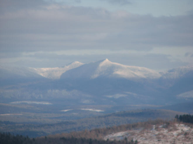
Percy Peaks
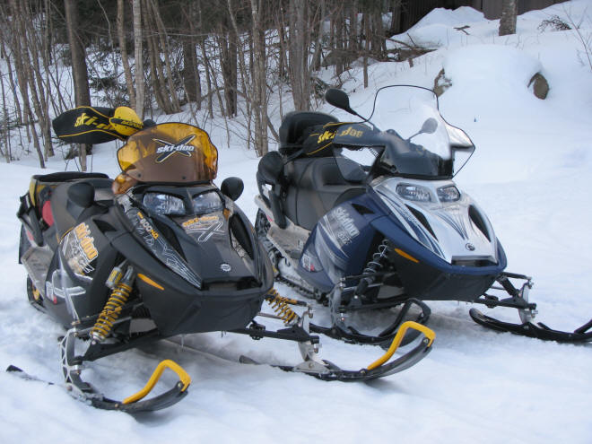
Foxwold's Snowmobiling Album
get me back to Foxwold's photo albums
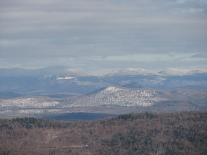
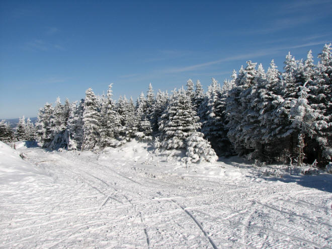
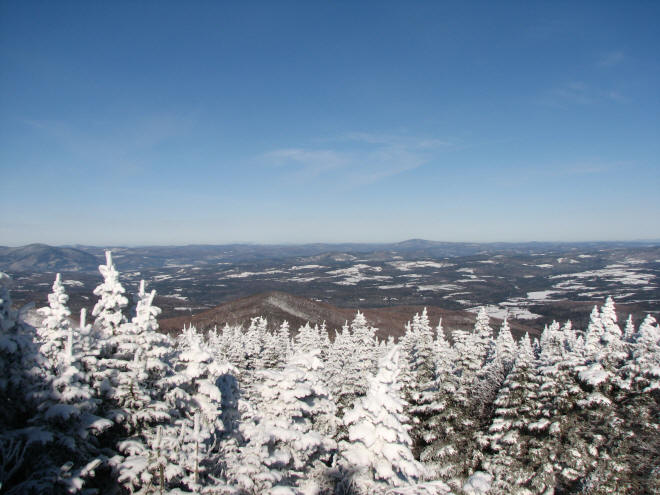
Percy Peaks
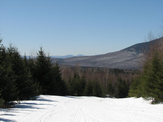
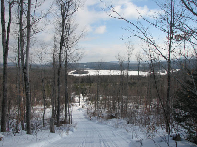
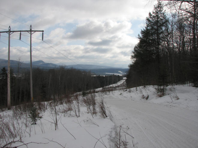
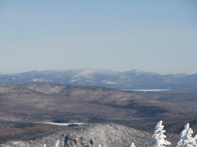
Looking out toward Vermont from East Branch Trail
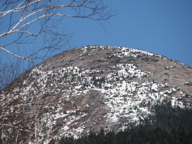
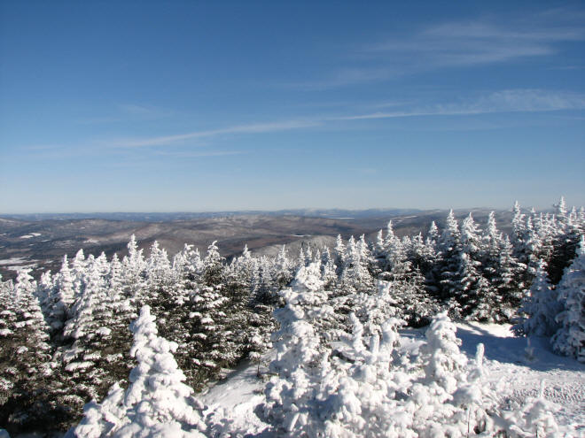
Zoomed in on one of the peaks
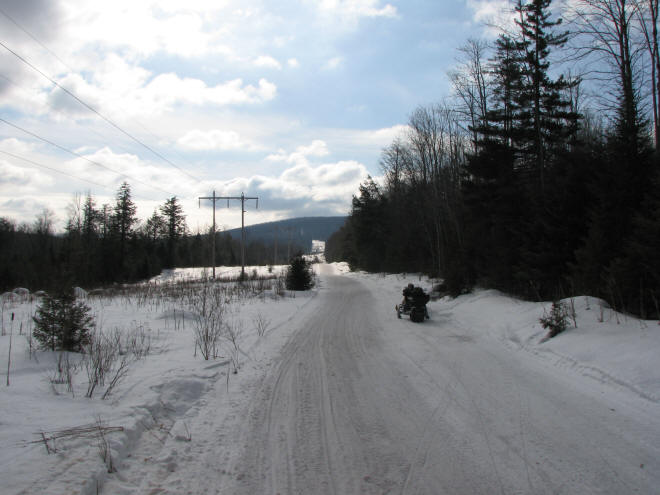
Along side Trail 5 in Nash Stream.. very close to trail 64
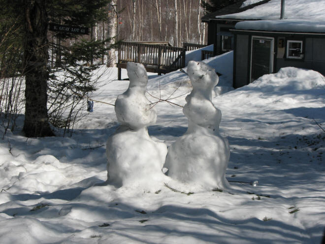
Two weeks later?
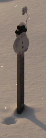
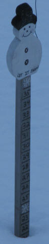
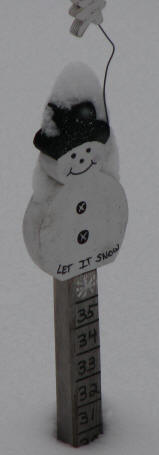
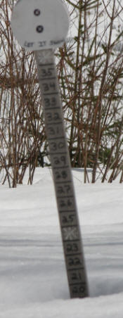
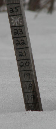
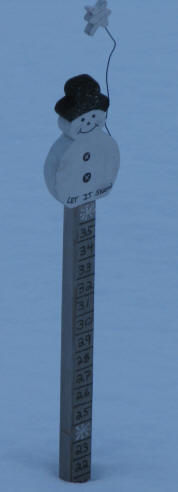
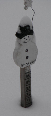
January, two in February and two March snow depth pictures.
Vacation 2009
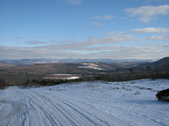
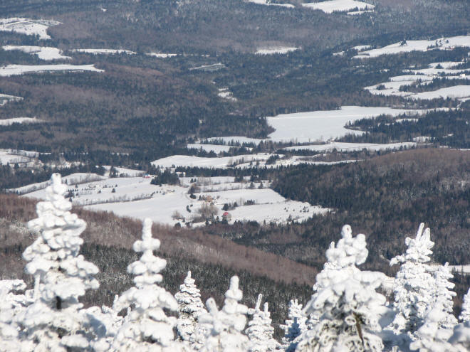
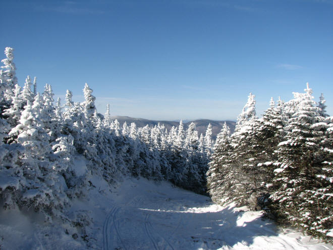
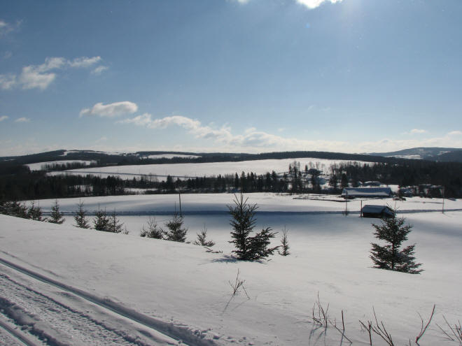
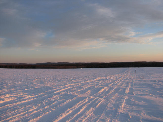
Great views are almost a dime a dozen.
Nearly ten inches fell during our break.
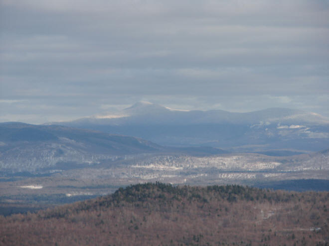
Dixville Peak is thoroughly frosted..

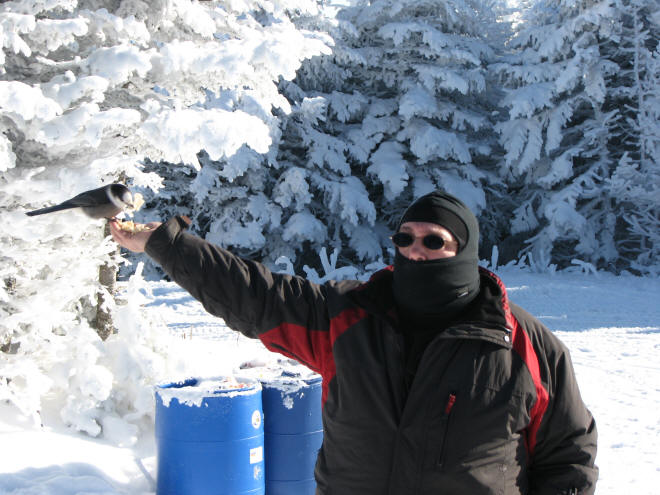
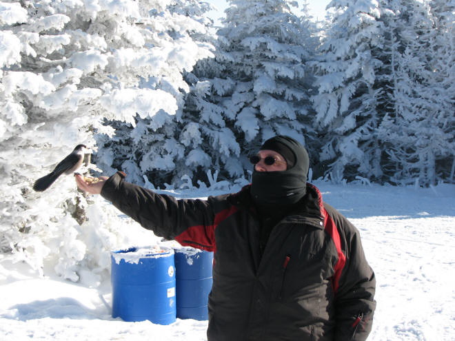
Canada Jays will eat right out of your hand.

Trail-side cocktail hour
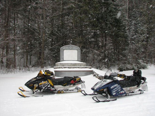
The Shrine in Colebrook.
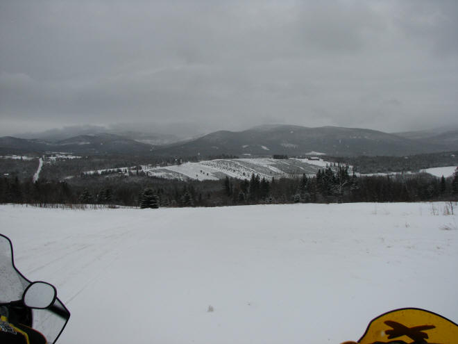
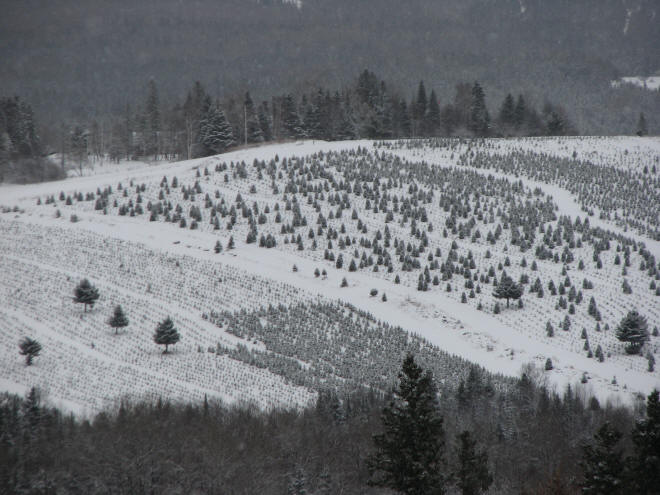
A Christmas tree farm outside Colebrook.
Vacation 2008
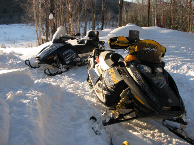
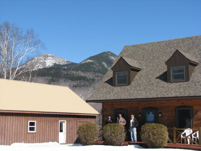
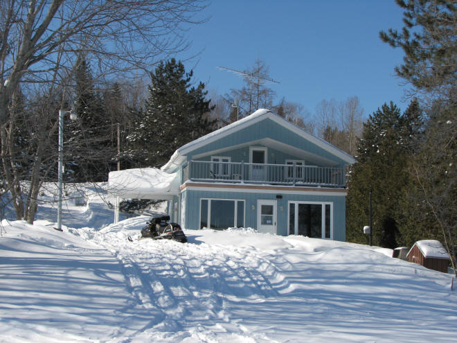
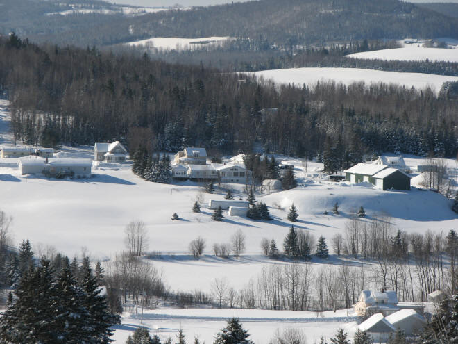
Then, with a little advanced planning.. rent a house in the north for a week..
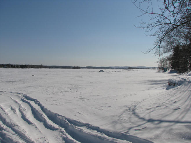
That's a good 3 feet of snow on top of a very Long Lake.. we stayed off it. It was too deep and too slushy.

Like villages of bob-houses..
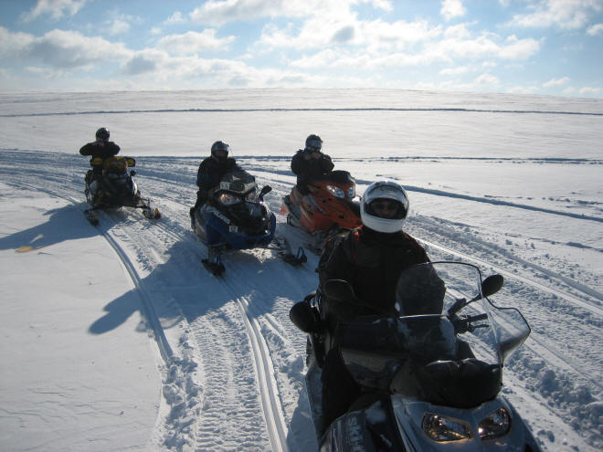
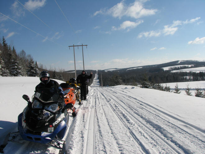
Yours truly, stopped for a group shot
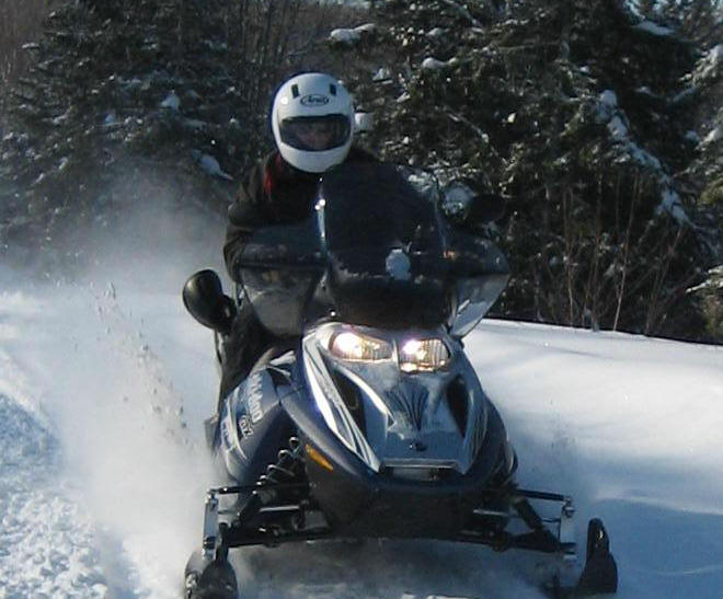
Motorcycle helmets actually work quite well for snow sports!
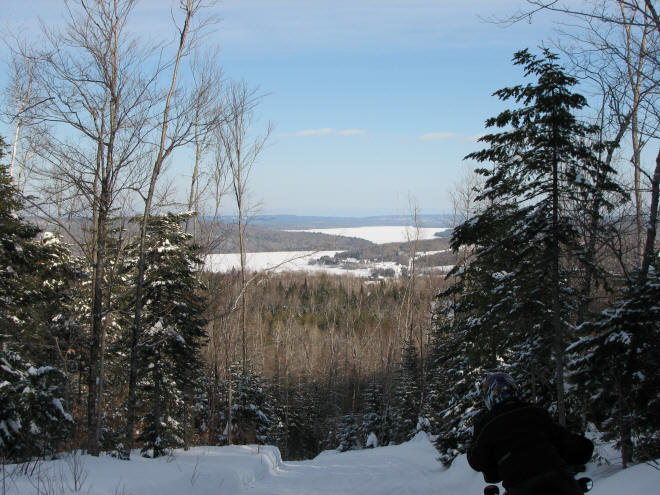
Out on the trail, a view can appear very suddenly.
..or it can leave you feeling like you can't see anywhere!
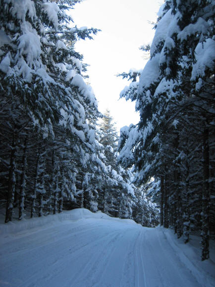
During snowfall, visibility goes down. Get off the packed trail and you're up to your ears.
Stay Right!
Henry, Allan..
Hank,..
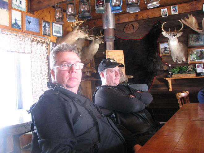
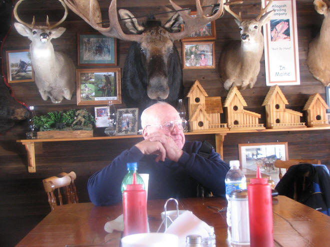
We all had lunch at Allagash. Never have I seen so many mounted heads. Fisher cats too!
Another view of Madawaska from the trail..


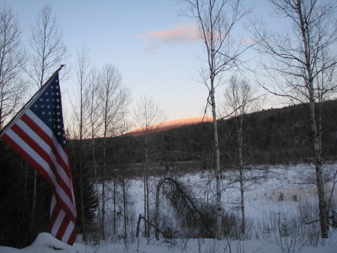
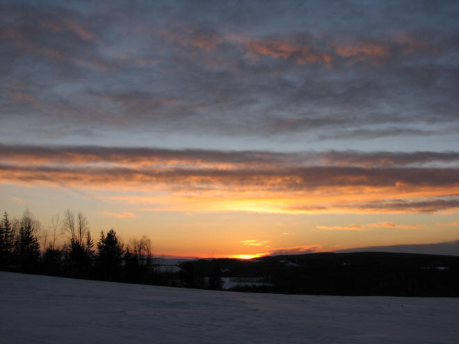
Sunset in St. Agatha (pronounced 'saint ahGOT')
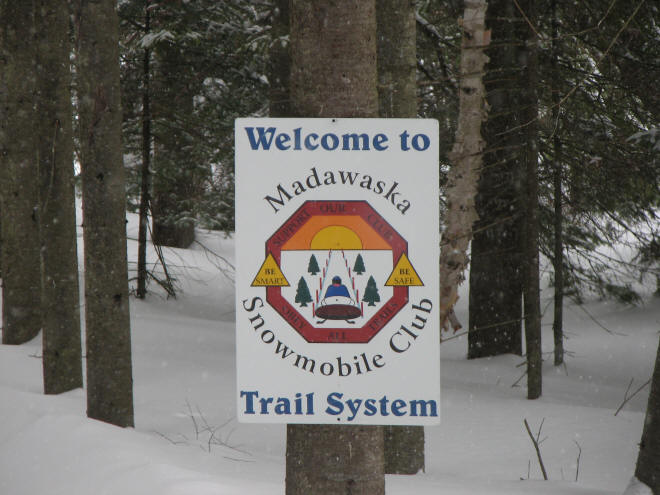
Madawaska's Trail System signs look like a clown face from a distance.
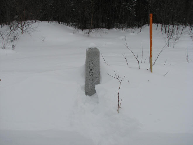
The Border Trail runs North/South along the Canadian border.
Riding south, you're in the States. Turn around and come north, the trail is in Canada.
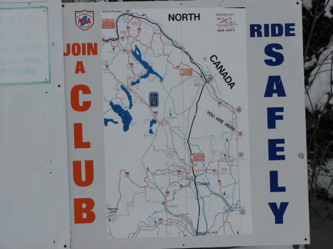
Okay, so you aren't here, but I was.. and we had ridden down there from Madawaska, shown at top. South of Madawaska, the first big lake is Long Lake. The rental pictured above is near the northern tip of Long Lake.
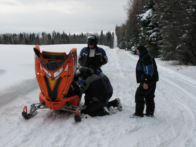
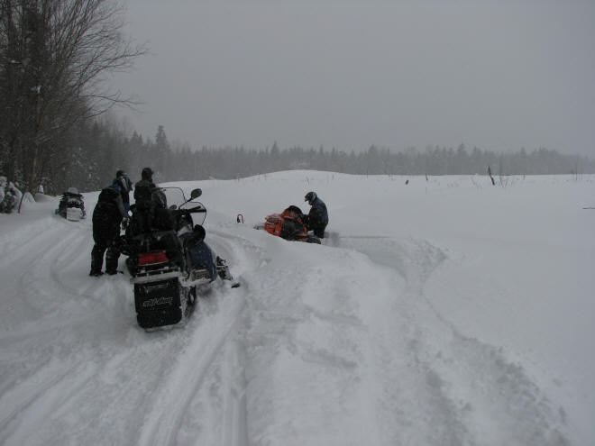
A broken belt can take about 20 minutes out of your day..
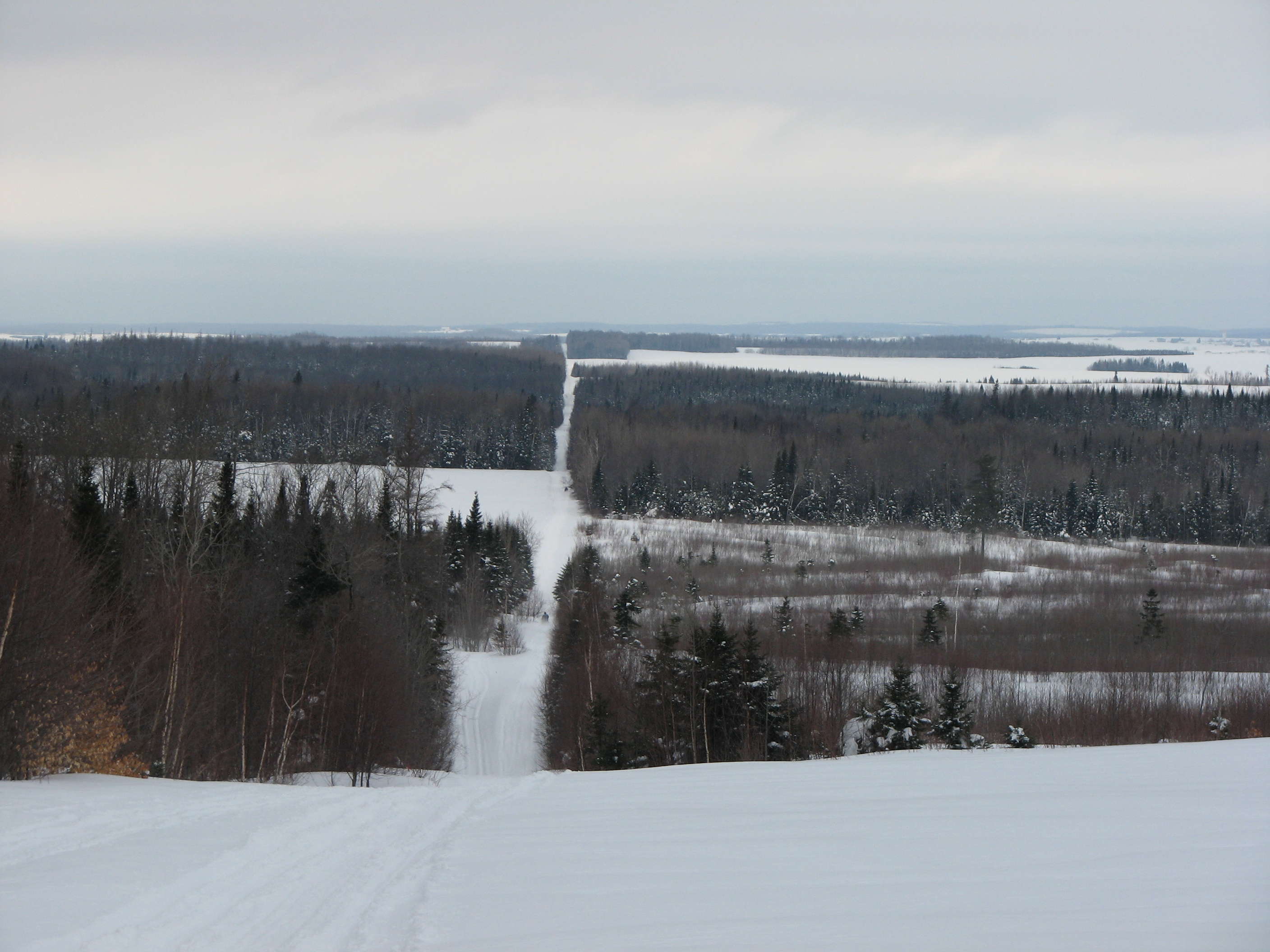
I was standing on Canadian ground/snow to take this picture. The Border Trail is that narrow cut in the trees.
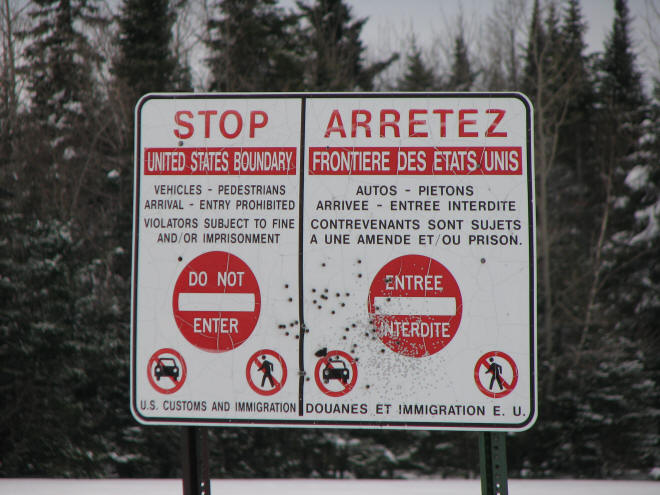
Bullet holes in a boundary sign. Looks like a couple shotgun blasts too.